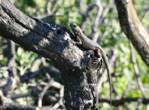
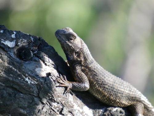

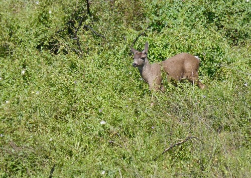
Sometimes when I’m birdwatching
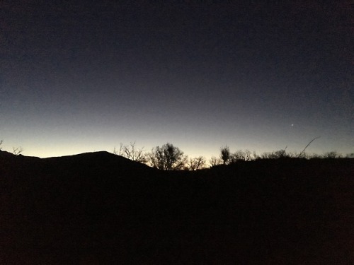
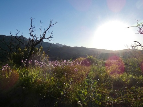
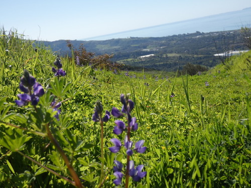
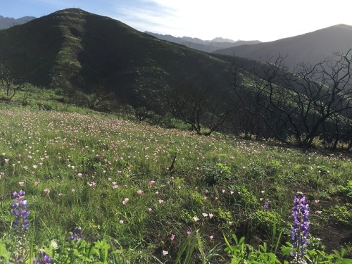
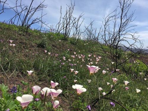
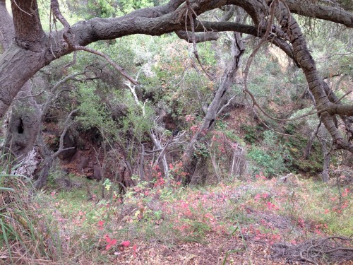
Fifteen months ago the hills above Carpinteria burned. Last Sunday I hiked up the Franklin Trail before dawn; this is what it looked like.
Reposted from https://lies.tumblr.com/post/183578915826.
Sometimes when I’m birdwatching
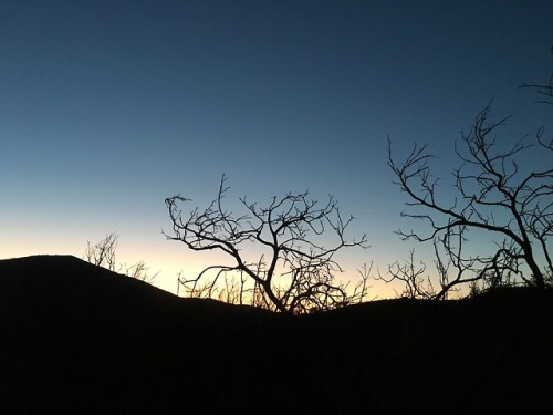
Fifteen months ago the hills above Carpinteria burned. Last Sunday I hiked up the Franklin Trail before dawn; this is what it looked like.
Reposted from https://lies.tumblr.com/post/183578915826.
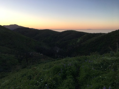
After the Fire, part 2
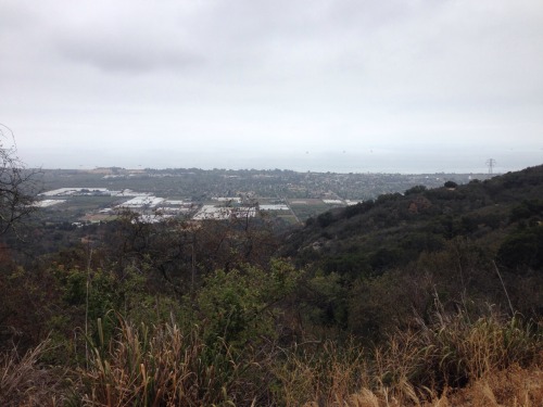
Franklin Trail, Thomas Fire burn area, 2018-04-08
Reposted from https://lies.tumblr.com/post/172810324401.
anonsally
replied to your photo “After the Fire Franklin Trail, Thomas Fire burn area, 2018-04-08”
That is a GORGEOUS photo.
You are super kind.
Here’s another patch of flowers (Black Mustard, I think, in this case) that I saw during my hike in the burn area. They made me think of you. See if you can guess why! 😜
Reposted from https://lies.tumblr.com/post/172806775816.
After the Fire
Franklin Trail, Thomas Fire burn area, 2018-04-08
Reposted from https://lies.tumblr.com/post/172744517586.
lies:
My interest in the natural world has followed an odd sequence.
At first I was drawn to birds. Then it was the insects the birds were eating, then the plants depended on by the insects.
Now it’s the earth beneath the plants.
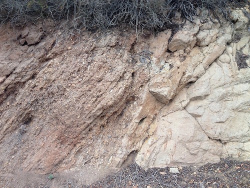
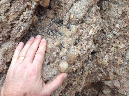
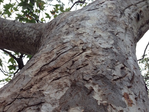
Phase II of the Franklin Trail behind Carpinteria is now open, and today Linda and I took Rory on a hike to check it out. There was lots of cool stuff to see; a higher vantage point to view the valley, trees with colorful poison oak beneath them, a big sycamore with bear claw marks leading up its trunk.
But the most interesting thing for me was the geology along the trail. The large image above shows (I think) the transition between the Sespe Formation (on the left), with reddish sandstone and conglomerate, and the Coldwater Formation’s lighter-colored sandstone on the right.
The boundary dates to about 40 million years ago. The younger rock is on the left, the older on the right. The layers were laid down in the vicinity of present-day San Diego; since then a big chunk of land has rotated clockwise, bringing the rocks to their present location in south Santa Barbara County. In the last 2.5 million years they’ve been tilted, such that what originally were horizontal layers are now angled up at a 60-degree angle.
The Coldwater sandstone was laid down at the bottom of a shallow coastal sea. Toward the end of that process, as the world’s climate transitioned from being very much warmer than today to being as cool or cooler than today, sea levels fell dramatically, and the rocks in that photo went from being underwater to being part of a low-lying coastal plain. Periodic river flooding produced the rounded pebbles embedded in the reddish Sespe conglomerate.
It’s cool to be able to read that history in the rocks. I’m just a baby at geology, but I’m looking forward to learning more.
Reposted from https://ift.tt/2maZJKm.